

[Musealia : Physical and mineralogical map of Mont Blanc and the surrounding mountains and valleys]
The map collections of the Geoscientific and Environmental library are linked to the history of the Sorbonne's geology laboratory, created in 1857 by Edmond Hébert, chair of geology. This map of the Mont Blanc massif, from this collection, is the oldest geology map in the library.
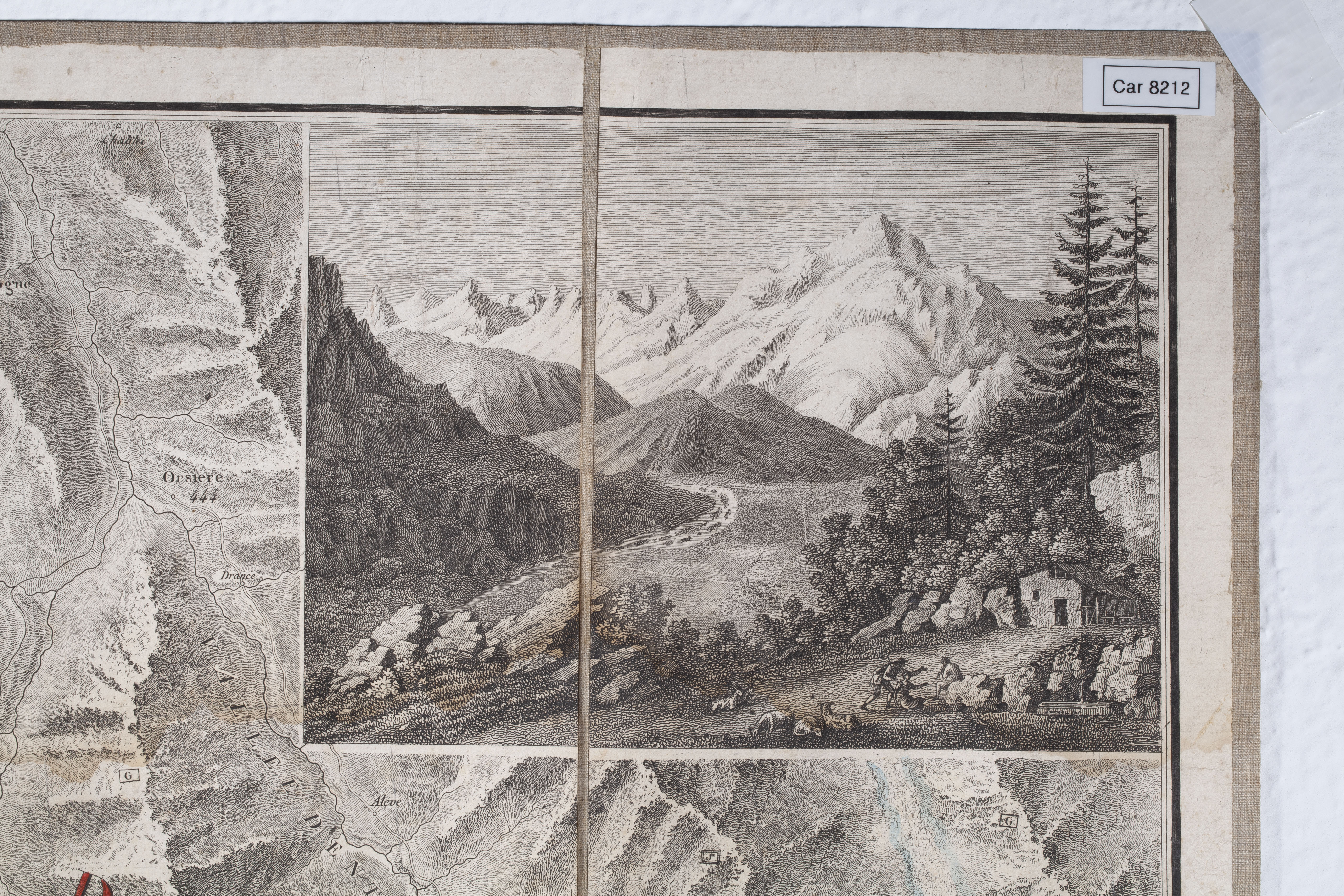
"It is specially intended to serve as a complement to Mr de Saussure's 'Travels in the Alps', and for the use of travellers who are going to visit the glaciers of Chamonix". This map completes the research of the precursor of Alpine geology, Horace Bénédict de Saussure (1740-1799). A physicist, geologist and naturalist from Geneva, he reached the summit of Mont Blanc in 1787 and made field observations. It also accompanies the beginnings of mountaineering as a sport at the end of the 18th century.
This map is part of the thematic maps of the Alps representing the Haute-Savoie in the 18th century. In black with handwritten notes in green, where the technique of fading was used to improve the rendering of relief, a very common practice on old maps. Like most maps of this period, it is backed to strengthen the paper, a technique used for other types of maps such as those made and used by military engineers in the 17th century. This allows them to be folded in different ways, making the map easier to handle and to consult.
By Michèle Gélis, Head of the Map Library of the Geoscientific and Environmental Library, Sorbonne University Library.
Data sheet
- Name : Carte physique et minéralogique du Mont-Blanc et des montagnes et vallées qui l'avoisinent
- Description : 60 x 86 cm
- Date : 1799
- Place of storage : Map Library of the Geoscientific and Environmental Library
Bibliography
- Sorbonne Université, « Collections et fonds remarquables ».
- Bibliothèque numérique de CHAMBERY, « CAMBERI@ Patrimoine de Chambéry numérisé ».
- Marie-Anne CORVISIER-DE VILLÈLE, Claude PONNOU, La France vue par les militaires. Catalogue des cartes de France du dépôt de la guerre. T.1, Ministère de la Défense, Etat-Major de l'Armée de terre, Service historique, 2001.
- Patrice RACT, Les ingénieurs géographes des camps et armées du roi, de la guerre de Sept Ans à la Révolution (1756-1791) : Étude institutionnelle, prosopographique et sociale, 2002 .
- Christian SORREL, « Comment la Savoie et Nice sont devenues françaises », L’Histoire, n°351, mars 2010.
Find here all the articles of Musealia.
